Description
Mountain Ridge and Thermal Site. This site is NOT managed by the Arctic Air Walkers, and this Site Guide is provided to assist pilots in making good decisions about flying at this site.
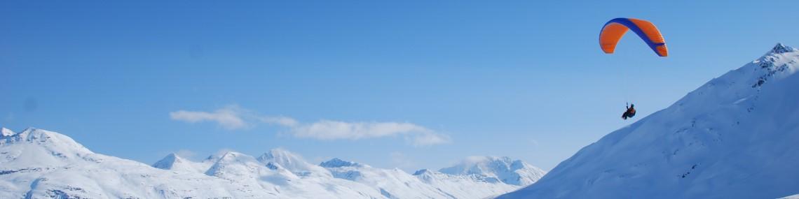
The ridges leading up to Harp mountain have several nice places to launch from that face both North and South. Plan your LZ before you hike. Columbia Glacier Loop Road to the north is a reasonable glide with plenty of bailouts in the winter but in the summer without the frozen river and bogs, it's a lot more committing and not recommended.
If you launch to the south, there aren't many options near the roads within the Southfork valley. Consider landing upvalley in one of the many natural meadows.
Landing Zones
Columbia Glacier Loop Road
61.301893, -149.460671
This unusual bail-out landing zone is nothing more than a road in a sparsely populated neighborhood. It's typically used as a bail-out LZ for XC flights. Pilots launching from the Switchbacks also tend to land here if they can't get enough altitude to head to Baldy. The locals are friendly but probably just because we don't land here very often. Be sure to park well off the road and don't block any driveways. Avoid folding up your glider in the middle of the road.
North Fork
61.276657, -149.378691
This is an emergency bailout LZ that can be treacherous to land in. It looks big from the air but their are large boulders, signs, and cars everywhere. The ground also slopes into the wind which combined with large trees at each end makes it difficult to not overshoot. Throw in some ripping thermals and rotors over the trees and it's going to be exciting.
It's strongly recommended that you use this LZ as an option of last resort and consider landing at one of the boggy marshes nearby instead.
There are no launches within a reasonable glide to this LZ so it's an XC bailout LZ.
Eagle River RC Park
61.271793, -149.366065
This cleared area was once an RC airplane park but it has been shut down for a while and is closed to us landing at. The paved runway, clubhouse, barriers, etc have been removed and it's now the nicest place to land on an XC flight in the Eagle River valley, however it is closed to us to land. This is an emergency only landing site. As with any LZ in this valley, the mid-day winds can be strong and when mixed with thermals, the final approach can be rowdy.
Weather Considerations
Pilots need to keep a careful watch on weather conditions, both on launch and in the air.
Ideal winds are from North or Sourth at 5 to 10 mph. Winds can be about 15 degrees to either side of that direction, or you can move to a different area to launch that faces more into the wind.
Requirements
Pilots are expected to evaluate the launch, the possible landing areas, the weather, and other conditions. Flights are at the Pilot's own risk.
P3 is the recommended pilot level, and it may not be suitable for P2 pilots. This site is not managed by the Arctic Air Walkers and there are no specific requirements to fly here aside from strong launching skills and good judgment. Pilots should have P3 skills, but because it is a remote site, with greater consequences for messing up, pilots should follow the USHPA recommended operating limitations for P2 pilots, which are:
- Maximum base wind of 12 mph.
- Maximum peak gusts to 15 mph.
- Maximum gust rate of 5 mph in 5 seconds
- Should not fly in thermal lift where peak climb rates exceed 200 fpm.
- Launch from slopes steeper than 4:1 with the wind within 25 degrees of being straight up the slope.
Hazards
Other hikers/spectators/berry pickers may occasionally visit this site and the potential for a conflict exists. Pilots are cautioned to ensure an appropriate distance is maintained between launch and landing activities and the public. Pilots are expected communicate to the public as needed to maintain clearances.
This is a natural mountain site and there are many natural hazards that are common to many natural mountain sites in Alaska that could be a hazard for pilots.
There may be no cell phone reception in many backcountry areas. Pilots are expected to be prepared for self-rescue and by carrying Spot, InReach or other non-cell based communication equipment.
- It's super important to plan your LZ prior to launching from this backcountry site. This usually means staging a car, walking down the LZ, etc.
- Powerlines run along most of the roads within the Southfork valley if you launch to the south.
- If you launch to the north and head towards Columbia Glacier Loop Road or one of the nearby meadows, be aware of a large powerline that crosses the valley along your flight path.
WARNING: The descriptions of typical flying conditions listed in this Site Guide reflect the experience of the authors of the guide. The conditions that you encounter at the site may differ, sometimes substantially, from those described. These descriptions may not be relevant to the possible experience of any other pilot, particularly one who is relatively inexperienced or new to the Site.